Cave Metering Project
Cave Metering Project
The dataset will be the first of its kind and will constitute the most detailed analysis of an underwater karst cave in existence. The purpose of the project is to collect long-term continuous measurements from within discrete conduits in the Wakulla cave system that contribute water to the discharge at Wakulla Spring. The data will allow scientists to determine the source of the water from each of the discrete conduits metered, thereby significantly increasing our understanding of the hydraulics of groundwater flow through the Woodville Karst Plain. The improved understanding can then be applied to efforts to protect Wakulla Spring and, more broadly, groundwater resources in Wakulla and Leon counties.
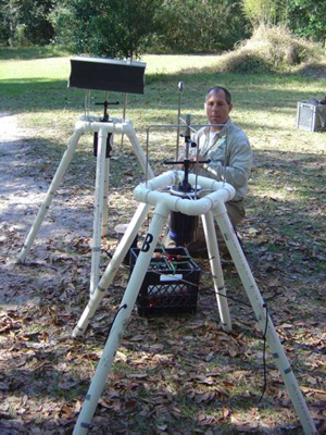
James McClean of the FGS checking the meter setups before deployment to B and C Tunnels in Wakulla Cave.
Click for a map and description of the meter locations.
Privacy Policy © 1998-2023 Global Underwater Explorers
